Kernavė: hillforts of Lithuania's first capital. In the Turi app, the same map shows your position, guides you from point to point and lets you tick off the places you’ve visited.
The walk starts at the museum, leads to the viewpoint and then to the hillforts one by one. Steep stairs and paths lead up the hills, so leave the pushchair at the bottom. Plan for about two hours. On 6 July, Mindaugas' Coronation Day, celebrations take place here.
At home, open the place in Turi and tap “Save for offline”: the map, descriptions and photos will work without signal.
Visit the farthest points first, while you still have energy.
Tick things off as you go, and by the exit you’ll know what’s left.
Kernavė in the Turi app
Live position, a route from point to point, descriptions to read and listen to. Free, no account, in 12 languages.
The same map as in the app. Tap a point to see its photo and description; in Turi you’ll see yourselves on it too.
1recommended, in route orderother pointsWCtoilets, food, tickets
Something not right? Report it in the app at that point.
Worth seeing
Kernavė on the River Neris was the medieval capital of the Grand Duchy of Lithuania. The five hillforts above the Pajauta Valley form the largest group of defensive hillforts in Lithuania. A cultural reserve has operated here since 1989, and since 2004 the archaeological site has been on the UNESCO list.
Photo Jean-Pierre Dalbéra from Paris, France, CC BY 2.0, Wikimedia Commons1
Attraction
Archaeological and Historical Museum
In the museum you will see finds from the excavations in Kernavė. Archaeologists have been digging here without a break since 1979, yet they have explored only about one and a half per cent of the reserve. The museum's first exhibition was opened by the teacher Juozas Šiaučiūnas on 28 December 1930.
Photo Phillip Capper, CC BY 2.0, Wikimedia Commons2
Attraction
Viewpoint
From here you can see the hillforts and the Pajauta Valley by the River Neris. A medieval town stood in the valley, and the Teutonic Knights burned it in 1390. Later silt covered the valley and preserved traces of the town, which is why Kernavė is sometimes called the Lithuanian Troy.
Photo Hugo.arg, Public domain, Wikimedia Commons3
Attraction
Mindaugas' Throne
Mindaugas' Throne is one of two outer baileys that protected the main hillfort. All the names of the hills were made up only in the 19th century. A ditch three metres deep separated it from Altar Hill.
Photo Kryganas, CC BY-SA 4.0, Wikimedia Commons4
Attraction
Altar Hill
Altar Hill is the centre of the whole hillfort complex, and its slopes are 13-18 metres high. People once believed that a sacrificial altar burned here, guarded by priestesses. Today researchers think that the court of Duke Traidenis stood here.
All points (6)
Grouped as in the map legend. A star marks recommended points.
Attraction 4
Archaeological and Historical Museum ★In the museum you will see finds from the excavations in Kernavė. Archaeologists have been digging here without a break since 1979, yet they have explored only about one and a half per cent of the reserve. The museum's first exhibition was opened by the teacher Juozas Šiaučiūnas on 28 December 1930.
Viewpoint ★From here you can see the hillforts and the Pajauta Valley by the River Neris. A medieval town stood in the valley, and the Teutonic Knights burned it in 1390. Later silt covered the valley and preserved traces of the town, which is why Kernavė is sometimes called the Lithuanian Troy.
Mindaugas' Throne ★Mindaugas' Throne is one of two outer baileys that protected the main hillfort. All the names of the hills were made up only in the 19th century. A ditch three metres deep separated it from Altar Hill.
Altar Hill ★Altar Hill is the centre of the whole hillfort complex, and its slopes are 13-18 metres high. People once believed that a sacrificial altar burned here, guarded by priestesses. Today researchers think that the court of Duke Traidenis stood here.

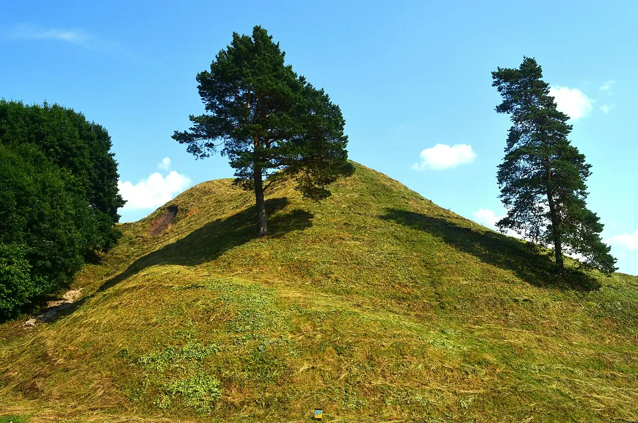 Photo Hugo.arg, Public domain, Wikimedia Commons

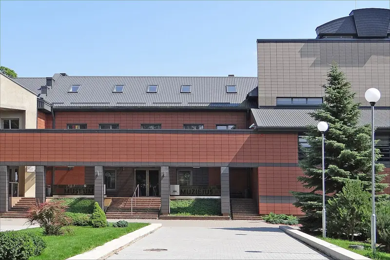 Photo Jean-Pierre Dalbéra from Paris, France, CC BY 2.0, Wikimedia Commons1
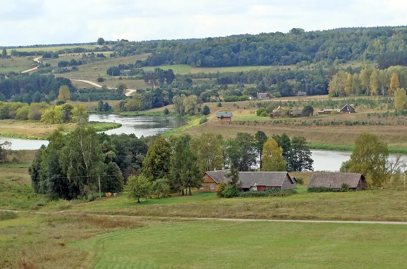 Photo Phillip Capper, CC BY 2.0, Wikimedia Commons
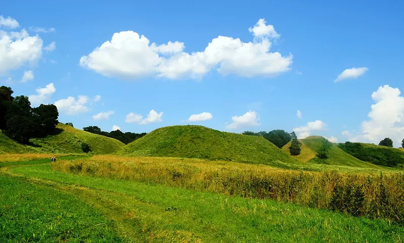 Photo Hugo.arg, Public domain, Wikimedia Commons
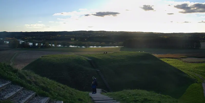 Photo Kryganas, CC BY-SA 4.0, Wikimedia Commons
 Photo Zairon, CC BY-SA 4.0, Wikimedia Commons
 Photo Erko, CC BY-SA 4.0, Wikimedia Commons
 Photo Guillaume Speurt, CC BY-SA 2.0, Wikimedia Commons